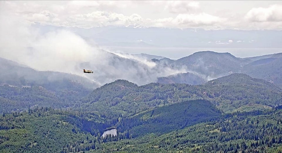
More than three months after it was discovered, the wildfire near Sooke Potholes Regional Park has been officially declared out.
The B.C. Wildfire Service updated the status of the Old Man Lake wildfire on Thursday just before noon. It had been listed as under control since Aug. 7.
The stubborn blaze first reported on July 22 scorched 230 hectares of forest and steep terrain in the Sea to Sea Regional Park and within five kilometres of Greater Victoria’s main water supply.
The fire was suspected to be human-caused, but the wildfire service could not determine if it was accidental or intentional.
With the wildfire officially declared out, the Capital Regional District has reopened several of the official trails and parking lots within Sooke Potholes and Sea to Sea regional parks.
The Spring Salmon Place Campground, however, remains closed for the season, as it does each year. It’s expected to reopen for the May long weekend.
The final three kilometres of the Galloping Goose Regional Trail will also remain closed north of Spring Salmon Place Campground.
Kapoor Regional Park will be closed through the winter for public safety, due to slope instability and risk of falling trees, said the CRD, which is warning hikers to avoid the closed areas.
“It is expected that rain events through winter will continue to bring down debris loosened by the wildfire in closed areas,” it said in an alert on Thursday.
“Through winter, staff will continue to monitor, assess and mitigate risks to public safety in these areas.”
Remaining area closures could be lifted in spring once weather conditions improve and slope stability and trees are re-assessed, it said.
To see the updated park and trail closures, go to the CRD’s closure map at crd.bc.ca.


