VANCOUVER — The first widespread snowfall of winter has hit Metro Vancouver, with Environment Canada warning the ongoing wintry blast could eventually bring up to 25 centimetres to start off a frigid week.
The weather agency says in a snowfall warning for the region that "intense flurries" could bring heavy accumulation and cut visibility on roads.
Environment Canada says while the snow tapered off in most areas Sunday afternoon, another round of "heavy snowfall" was developing overnight before localized flurries Monday morning.
It's part of a wintry mix of conditions across the entire south coast of British Columbia that the agency says is expected over the next several days.
Alyssa Charbonneau, a meteorologist with Environment and Climate Change, says a low-pressure system has settled over the west coast of Vancouver Island, bringing in bands of moisture across the province's south coast.
She says that at the same time, another cold arctic air blast is making its way out towards the coast.
“When those two factors come together, we have temperatures that are cold and bands of moisture. Of course, that's the ingredients we need to make for snow,” said Charbonneau.
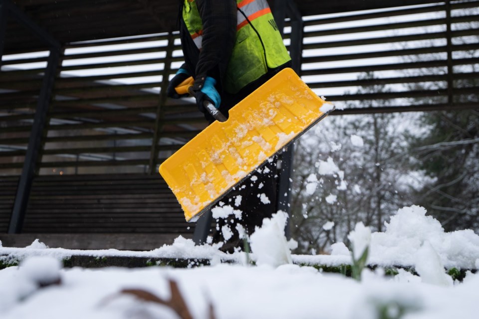
The heaviest snow was in higher elevations, but it also piled up in low-lying areas including the City and Vancouver and Richmond.
Looking ahead, Charbonneau said Metro Vancouver is going to see some isolated flurries on Monday and residents need to dress warmly since cold temperatures will linger through the week, especially in Howe Sounds and Fraser Valley.
Environment Canada said temperatures will be five to eight degrees Celsius below seasonal in Metro Vancouver next week and strong outflow winds will lead to cold wind chills.
In the north of B.C., extreme cold warnings were in place for several regions, including the Peace River area where wind chills near minus 40 are forecast for Sunday.
Meanwhile, B.C. Ministry of Infrastructure urged drivers in the Lower Mainland, Howe Sound, and south Vancouver Island to avoid travel unless their cars are well-prepared for winter weather.
The ministry said in a statement that traffic was delayed on Highway 1 through North Vancouver Sunday morning due to drivers attempting to travel without winter tires or chains.
It said tow trucks cleared the vehicles that were blocking the traffic and additional trucks were on standby.
Charbonneau said some of Sunday's snowfall had melted but with temperatures dropping below freezing overnight, roads could refreeze and lead to "really icy conditions."
She reminded people to clear their sidewalks and walkways.
"Because we do expect that we will be seeing some temperatures below freezing for the next few days," Charbonneau said.
This report by The Canadian Press was first published Feb. 1, 2025.
The Canadian Press


