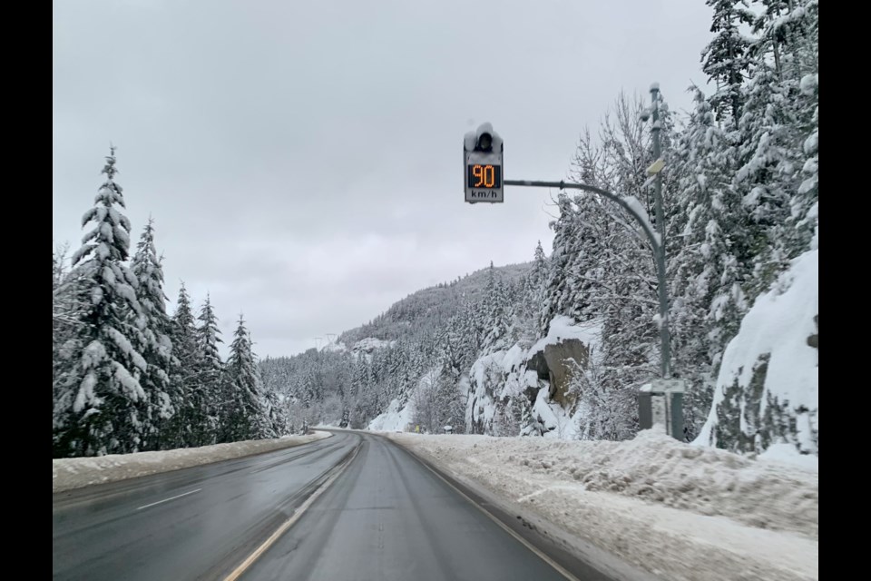
Anyone who stood in the lengthy lift queues snaking through Whistler Village or Creekside on Saturday, frothing for the 16 centimetres of snow that fell overnight (or, for that matter, anyone who scoped out those line-ups via webcams and decided to save their shredding for another day) knows: people are hungry for pow.
After all, the heavy, 20-plus-cm West-Coast powder days Whistler is accustomed to have so far been few and relatively far between this season. January is typically one of the snowier months in Whistler, but 2023 is off to a dry-ish start, comparatively speaking. As listed on Tourism Whistler's Weather History & Stats page, a total of 174 centimetres of snow fell over the resort last month. That is fewer than the 202 cm that fell in December 2022, but more than the 119 cm of snow Whistler received in November.
Whistler hasn’t had that little snowfall in January since 2017, when the resort recorded 134 cm of new snow. The current record for Whistler's snowiest January to date was set during the ultimately ill-fated 2019-20 season, when 477 cm fell over Whistler between Jan. 1 and Jan. 31.
Comparing last month’s total snowfall to last season’s numbers only twists the knife a little deeper: in 2021-22, Whistler received 259 cm of snow in November, 239 cm in December, and 226 cm in January.
Still, last February brought drought-like conditions to the resort, when only 61 cm of snow fell. This year, Whistler has already welcomed 39.5 cm of snow since Feb. 1, according to snow-forecast.com. More snow is anticipated to fall in the coming days, with Whistler Blackcomb calling for between 4 and 8 cm of daytime snow Monday, plus another 4 to 8 cm overnight, resulting in about 5 to 10 cm of accumulation in the alpine on Tuesday, Feb. 7. (Heads up: with temperatures hovering above the freezing mark in the valley, that precipitation is more likely to look like rain at lower elevations.)
Monday’s new snow will likely cause avalanche conditions in the surrounding peaks to deteriorate, according to Avalanche Canada. The current avalanche hazard for the mountains north of Squamish is rated as “considerable” in the alpine and at the treeline, and “moderate” at below-treeline elevations. The avalanche danger for the North Shore, meanwhile, is listed as “high” for alpine terrain. Conditions are predicted to bring “high” avalanche danger to alpine and treeline terrain around Whistler on Tuesday.
According to Whistler Blackcomb’s weather report, the resort has seen 520 cm of total snowfall so far this season, contributing to a base depth of 195 cm. (In 2021-22, the resort saw 724 cm of snow fall over the three months spanning from November to January.)
On the bright side? Whistler has seen significantly more snow than many resorts on the other side of the Atlantic, where some operators are struggling to keep runs open.
In the French Alps, for example, Val Thorens has a base depth of 95 centimetres in the valley and 150 cm up high, while Meribel has a base depth of just 55 cm in the valley and 90 cm at higher elevations.
Or, take a look back in Whistler's own snowfall history to feel immediately better about current conditions: during the 2004-05 season, just 685 cm of snow fell in the resort between November and May. The highest monthly snowfall that season was recorded in April, when 197 cm fell. Even weirder? More snow fell in May that season (45 cm) than in January (42 cm).


