Newly released research shows that computer simulations of snow cover can accurately forecast avalanche hazards.
This is relevant to the Sea to Sky, where there are frequent avalanche concerns, including this last weekend when Avalanche Canada put out a special public avalanche warning.
The international study, "Characterizing snow instability with avalanche problem types derived from snow cover simulations," involving researchers from Simon Fraser University found that simulated snow cover models "are able to detect and track weak layers of snow and identify avalanche hazard in a completely different way — and can provide forecasters with another reliable tool when local data is insufficient or not available."
As folks in the Sea to Sky know all too well, avalanches can be deadly.
“As far as natural hazards go, avalanches are still one of the leading causes of fatalities in Canada,” said Simon Horton, a post-doctoral fellow with the SFU Centre for Natural Hazards Research and a forecaster with Avalanche Canada, in a news release.
How does avalanche forecasting usually work?
Typically, avalanche forecasting uses a combination of collecting field data and then looking at the weather forecast.
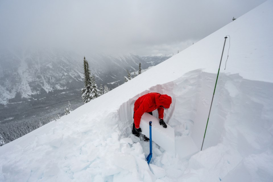
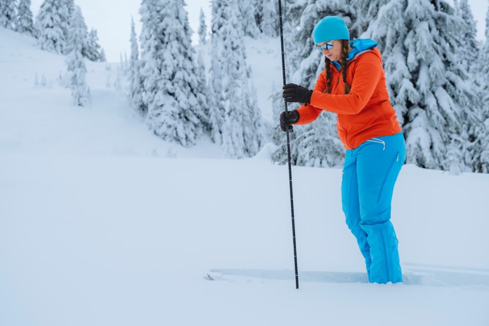
The field data comes from professional observations that are put into a database, including the weather, snow and any avalanche occurrence if they see it, Horton told The Squamish Chief.
The professionals who collected the data include backcountry ski guides, those who work on ski hills, staff with Parks Canada and BC Parks and the Ministry of Transportation, he said.
As well, forecasters look at weather data.
"We look at weather forecasts, to kind of anticipate what changes we can expect in the next day or two. And so for that, we use a lot of Environment Canada products, and we actually meet with forecasters in Vancouver each day — Vancouver and Edmonton — and get some additional insight into the real specifics of the mountain weather and how that could be impacting these conditions."
What is the current weakness?
The way avalanches are forecast now, though helpful, isn't perfect.
"It takes a fair bit of experience and training and ultimately there are still a lot of uncertainties," Horton said, adding the data is also not consistent from place to place.
Data about Whistler, for example, may be quite fulsome, whereas data about more remote regions will be less so.
"Obvious examples would be in the more northern parts of the province, like in the northern Rockies, the northwest coast. We recently started forecasting on Vancouver Island, and despite the big population there, there is actually not a lot of data in the mountains from there."
The less field data, then, the less confidence forecasters have in their ability to detect potential avalanche hazards, Horton explained.
Another drawback of relying on field data so heavily is people aren't always in areas to report conditions, especially when the danger is high.
"During extended periods of high danger, we can't really send people out into the mountains as easily. So, we get these gaps [in information]. And also, for the first few months of fall and early winter, there's not really enough snow for people to go out skiing and sledding, but we do sometimes get crust layers or some kind of the weaknesses that form in that early period and they become a big problem later in the winter. But we don't really have good records, because people aren't going out into the mountains in October or November, to observe it,” he said.
What is new?
Weather forecasting has become much more advanced, which allowed the computer simulations to be more in-depth, Horton said.
For the new study, researchers took 16 years’ worth of daily meteorological, snow cover and avalanche data from Weissfluhjoch in Davos, Switzerland and ran computer simulations that could classify different avalanche situations.
Horton said the Canadian researchers used two sites — in Whistler and Rogers Pass — and five years of data from forecasters.
"We did a calibration to see how well the model predictions agreed with what the forecasters thought the avalanche conditions were," he said.
The results of the study showed the modelling was consistent with the real observed frequencies of avalanches and that the approach has the potential to support avalanche forecasting in the future.
It may also allow researchers to experiment with some long-range climate models to see what future climates could mean for the types of avalanches we can expect.
A really simple example would be, perhaps we'll see more rain than snow in certain areas, Horton said. “And based on that rain, and what time of year it happens, we can see maybe different possible types of avalanches, like wet avalanches versus dry avalanches, which have quite different characters," he said.
What does it mean today?
Ultimately, Horton said these computer simulations are one piece in the avalanche predicting puzzle.
"It is trying to help forecasters reduce their uncertainty so they can give more accurate and specific advice to people heading out," he said, noting that the technology is a long way from being fully implemented for forecasting.
It is in the testing phase.
"But really the complete picture of backcountry safety involves people getting their training, and having the rescue equipment and just knowing how to use that forecast to plan their day in the backcountry. So it's not necessarily something that we can just give to someone, and it'll tell them where to go in the mountain safely. It's just kind of one step in this process that we can use new technology to hopefully do it better."


