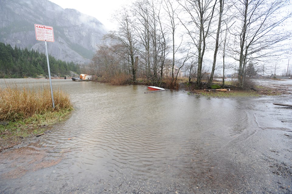
It is the stuff of modern nightmares and Squamish history books; during fall or winter heavy rains, water seeps and then quickly rises above the bottom floor of homes across the district. Rivers bloat and then swell, becoming dangerous to those who live or even walk along their banks.
These are scenarios the District of Squamish has historically had to deal with and is currently trying to mitigate against with the help of public consultation.
“We’ve got a pretty active river system and coastal system here in Squamish, so we want to pay particular attention to this,” Mayor Patricia Heintzman told The Squamish Chief.
Squamish faces flood hazards from the Squamish, Mamquam, Cheakamus, Cheekye and Stawamus rivers as well as debris flow hazards from the Cheekye River and smaller local creeks, as well as coastal flood and tsunami hazards from Howe Sound, according to district documents.
Starting in December, the public will be asked to help the district determine its River Flood Mitigation Strategy for rivers, looking at mitigation including land use and dike upgrades.
This consultation is the third phase of completing the Integrated Flood Hazard Management Plan. Phases one and two – gap analysis and coastal flood mitigation strategy – are complete, but still need to be adopted by council as part of the plan.
Squamish’s history is awash in flood tales. In 1906, for example, many settlers were wiped out by a flood, according to a Kerr Wood Leidal Associates background report submitted to the district.
In 1940, flooding caused evacuations from Brackendale to downtown Squamish.
Last weekend, as rain pelted the district and the rivers rose, the Squamish Nation put out weather alerts for some of its 10 reserves located throughout the shared floodplain in the district.
The district’s flood plan was last updated in 1994, and responsibility for development in flood hazard areas shifted from the province to municipalities in 2005. The province and federal government help municipalities with funding in the form of grants for mitigation construction, according to Heintzman. The ongoing maintenance is the municipality’s financial responsibility.
The district has been developing a new, updated plan for flooding since February of 2014.
The new plan sets out to incorporate the latest flood management guidelines and engineering modeling tools and techniques, according to district staff.
Over the past 10 years, the district has spent approximately $10 million on flood mitigation, according to district engineer David Roulston. The updated plan will help set the course for further mitigation.
“Downtown is currently at risk of coastal flooding during extreme events. This problem is expected to worsen if sea levels continue to rise,” he said.
An October Coastal Flood Mitigation report determined the required height, alignment and type of sea dike to protect against one metre of sea level rise. The dike would need to be approximately seven kilometres long and connect from the Squamish River dike near Government Road, south around the downtown peninsula and up the Mamquam Blind Channel, to high ground at the Smoke Bluffs.
“The ultimate planned height of the dike is 4.7 to 4.8 metres, which takes into account the possibility of one metre of sea level rise. However, the strategy incorporates an implementation strategy that allows for building the dike to a lower level initially and monitoring the actual rate of sea level rise,” said Roulston.
“The sea dike will be a long-term recreational amenity for the town, serving as a trail and connecting people to the waterfront.”
Privately funded portions of the sea dike are beginning construction immediately with the Mireau development, which will be building the sea dike along its property. Future waterfront development will fund their frontage portions as well, according to Roulston. Future district construction timelines will be determined once the completed Integrated Flood Hazard Management Plan has passed council, he said.
The next opportunities for public feedback on the floodplain mitigation will be online surveys in December, followed by a public open house in mid February.
It is expected the final flood management plan will be before council in the spring.


