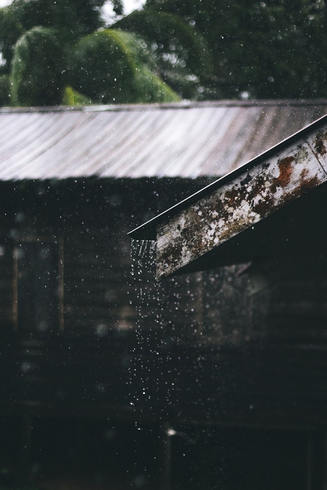
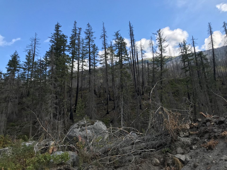
The summer of 2019 defied predictions.
The brutal wildfire season of smoky skies and campfire bans that characterized the summers of 2017 and 2018, and that Squamish braced for, never materialized.
"The takeaway from this season would be that those predictions, are just predictions and they are not written in stone. Weather is dynamic. Sometimes it is going to be in our favour and sometimes it is not," said Erika Berg, fire information officer with the BC Wildfire Service.
Looking specifically at our area during this wildfire season, which is from April 1 until the last wildfire is put out — usually in September or October — our Coastal Fire Centre region saw 155 fires, according to Dorthe Jakobsen, fire information officer with BC Wildfire Service's Coastal Fire Centre.
Of those, 107 were human-caused, while 48 were lightning-caused.
Looking at last year, by Sept. 12 of 2018, the region had seen 291 fires, of which 132 were human-caused and 159 were lightning-caused.
On Sept. 12, eight wildfires were still burning in the Coastal Fire Centre jurisdiction and 27 were burning in B.C.
The Coastal Fire Centre covers south coastal B.C., the most heavily populated area in the province. It stretches from Manning Park to the northern border of Tweedsmuir South Provincial Park and includes the Lower Mainland, Sea to Sky Corridor, Sunshine Coast, Vancouver Island, the Gulf Islands, and Haida Gwaii.
The largest fire within our jurisdiction, in terms of hectares burned, was the Mount Currie fire, which started at the beginning of April and was called out on May 2.
At its peak, the blaze reached 92 hectares in size.
"The weather really helped us this year, otherwise, it would have been very similar to the two previous years, I am afraid," Jakobsen said, adding a campfire ban didn't have to be instituted in the corridor this season.
But it wasn’t all good news. Jakobsen noted that percentage-wise, more fires were human-caused this season than last year.
"We did have far too many human-started fires," she said.
"We are asking people still to be aware and as they get their houses ready for the winter, to think about Fire Smarting their property, especially close to their houses and making sure their gutters are clean... getting it all ready for next season."
Province-wide comparison
B.C. is divided into six wildfire regions.
Province-wide, the BC Wildfire Service responded to 782 wildfires so far this year, according to Berg.
The Kamloops fire region had the most fire starts at 195.
Province-wide, 430 blazes were human-caused this season while roughly 340 were lightning-caused.
In 2018, the province saw over 2,000 wildfires.
"So quite a difference," Berg said
This year, approximately 21,000 hectares have burned, while in 2018, 1.3 million hectares were ablaze.
Wildfire personnel
This fire season was so much better than expected that the Coastal Fire Centre was able to send some of its crews out of province to help fight wildfires: 151 people were sent to Alberta, 22 were sent to the Yukon and nine were sent to Ontario.
In 2018, the regional fire centre was importing crews, Jakobsen said.
Provincially, Berg said the biggest deployment of resources was to Lillooet, for the Fraser River landslide that happened in late June.
Crews were tasked with flying salmon over the rockslide on the Fraser River to their spawning grounds upstream.
"That has been keeping us the most busy," Berg said, adding that the fire information office let out a cheer when they reached the “funny statistic” of more fish flown than hectares burned this summer.

The role weather plays
Early in the season, the predictions of a brutal fire season seemed likely given the drier than normal spring seen in Squamish and around the province.
Ashlee Jollymore, a hydrologist with the provincial River Forecast Centresaid there was only about six weeks of snow accumulation in December and January.
“Our season started really slow, we had that six weeks of a succession of storms that brought snow to the coast and then we really didn’t have anything significant for the rest of the snow season,” she said, adding the snowmelt was two weeks earlier than usual for the coast.
Accumulation of snowpack benefits many ecosystems, including trees, some of which need “wet feet,” in order to grow, Jollymore said.
According to Environment Canada meteorologist, Matt MacDonald, other than in April, each month of spring was drier than normal.
February saw 38 per cent of its usual rainfall, with 73.9 millimetres falling at the Squamish Airport, where the local measurement is taken. The normal for February is 192 mm.
March saw 19 per cent of normal rainfall with 39.8 mm. The normal is 206 mm. April was a bit wetter than normal with 169.7mm, while the normal is 152 mm.
Both May and June were "super dry," with 37.3 mm of rain in May — normal is 115 mm. In June 30.3 mm fell, while the normal is 82 mm.
"Squamish was representative of conditions elsewhere on the south coast," MacDonald said.
Had it not been so wet, we might have had a very different wildfire season due to the large number of lightning strikes, he added.
"We saw more lightning in July than in the previous two summers," MacDonald said.
There were 3,239 lightning strikes in July in the coastal fire region.
The average over the last 18 years for July was 2,454 strikes.
The same situation occurred across the province. As of Sept. 12, the province had seen close to 500,000 lightning strikes this year. The yearly average over the previous 18 years was 266,000 lightning strikes.
"It goes to show, despite a very active lightning season, we dodged a bullet because of that rain," MacDonald said.
"It was just a really unsettled pattern. We had what we call a trough of low pressure over the province, which was generating a lot of lightning, but the saving grace this summer was the majority of the lightning was accompanied by rainfall," he said, adding in July, Squamish saw 80 mm of rain while the normal is 59 mm.
"That was the situation across the province. July was significantly wetter than normal. That somewhat alleviated the previous drought conditions."
In 2018, the weather pattern that caused more wildfire-prone conditions was dry conditions followed by dry cold fronts.
"A dry cold front, what it does is generate lightning, but there's no precipitation associated with it. They are also followed by strong, gusty winds. The previous two summers we have seen a couple of those and those are some of the worst weather patterns for fire starts."
This summer, we didn't see any of those, MacDonald said.
Climate change
The slower fire season this summer doesn’t mean that is the way things will continue for future fire seasons.
Several studies have shown our drought periods are going to be more pronounced, and longer, MacDonald said.
"So we can expect longer dry periods, with less rain during those hot summer months," he said. "At the same time, a larger per cent of our precipitation is going to fall in intense short bursts — what we call atmospheric river events."
Weather forecast
For seasonal forecasts, meteorologists look at the condition of the oceans and the temperature of the sea surface.
In 2013, The Blob emerged. It is a chunk of water in the Pacific Ocean, off the coast of North America that was three or four degrees warmer than normal.
This fall, very similar conditions are being seen, MacDonald said. "Inevitably all that warm water is playing into a warmer than normal fall forecast," he said.


