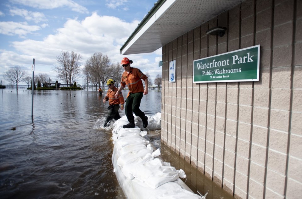
Ontario has issued a provincial flood watch as heavy rain is set to sweep across parts of the province and combine with melting snow.
The provincial flood watch across central and southern Ontario says enhanced runoff, elevated water levels and low-lying floods are possible.
The snowpack is at a depth of up to 100 centimetres around Ontario's cottage country and Bruce Peninsula, holding the equivalent of roughly 150 to 250 millimetres in some areas.
Snowmelt will combine with what Environment Canada says could be roughly 15 to 25 millimetres of rain Tuesday night through Wednesday across southern and eastern Ontario, where the agency has issued a special weather statement.
To the north, a rainfall warning is in place for the area around Manitoulin Island and Georgian Bay, with up to 20 to 35 millimetres in the forecast.
The precipitation will likely fall as snow from Sault Ste. Marie and further north, where Environment Canada has issued several winter storm warnings.
The provincial flood watch suggests keeping a close eye on local forecasts and flood conditions.
Several conservation authorities in southwestern Ontario have issued flood watches.
This report by The Canadian Press was first published March 4, 2025.
The Canadian Press

