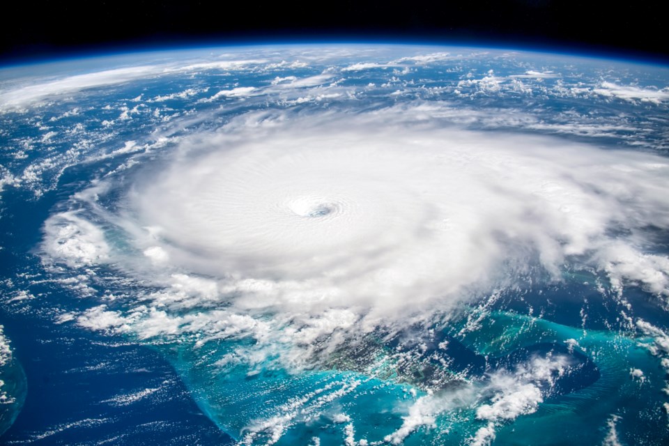
Weather can be amazing in its ferocity and variety. From waterspouts to ice storms, there are hundreds of different ways changes in the climate can manifest themselves. While some of these are benign, others can bring severe damage and even the loss of life, necessitating both respect and awe of the power of nature.
Stacker looked at records of extreme weather phenomena over the years to come up with a list of 15 of the wildest and most bizarre phenomena in the world. While this list is created for entertainment purposes, it is also the hope of Stacker to convey what you should do if you are caught in a dangerous weather situation.
While every weather situation is different, there are guidelines that one can practice to minimize injury. These include:
- Finding shelter, if available;
- Having a disaster plan ready—including a first aid kit—that you practiced with your loved ones;
- Avoiding windows or any areas where broken glass and other debris may be a concern;
- Carrying a charged cell phone with you at all times in case you may need to call for help;
- Following the directions of any safety officer or disaster relief coordinator;
- Evacuating the area when ordered or when the situation demands it; and
- Staying calm and objectively thinking through the problem and finding the best possible solution.
The difference in surviving a disaster and becoming a statistic may be a matter of seconds. Being prepared could be your best defense against the unexpected. Keep reading to learn about 15 truly wild weather phenomena.
NASA
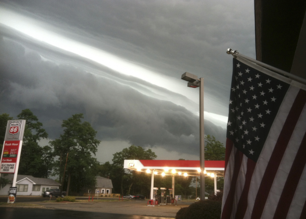
Derecho
A derecho is a straight-line wind storm. Associated with hurricane-force winds, tornadoes, and heavy rains, derechos are widespread, long-lived, and fast-moving. This type of storm typically occurs in the summer and primarily in the Midwest.
David McNew // Getty Images
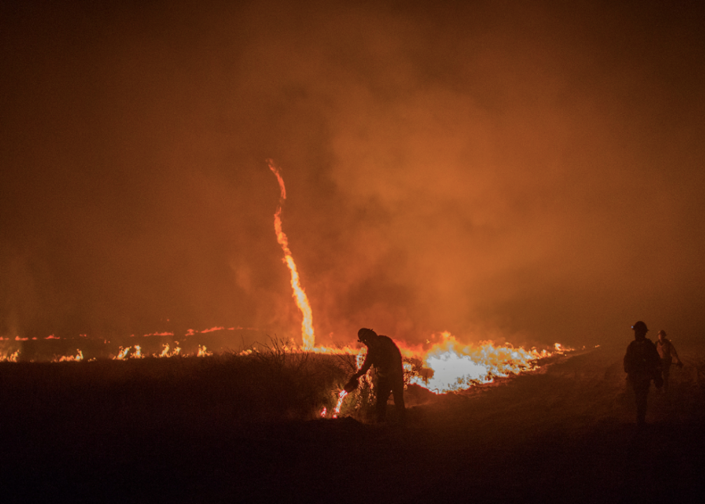
Fire whirl
A fire whirl or fire devil is a whirlwind started by and made of fire.
Consisting of a swirling wind surrounding a fire core, they are typically made from an updraft in the vicinity of a wildfire. Some fire whirls can be up to half a mile in height, with wind speeds of over 120 mph, and durations of over 20 minutes.
Kingbob86 // Wikimedia Commons
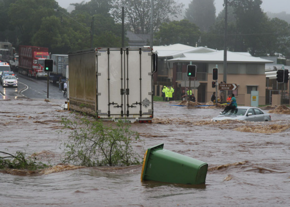
Flash flood
A flash flood is the sudden flooding of low-lying areas.
This can occur with heavy rains from a major storm or hurricane, from meltwater from snow or ice, or from the failure of a dam or other manmade structure. Unlike regular floods, flash floods tend to be short in duration, but can be just as devastating.
AFP // Getty Images
Haboob
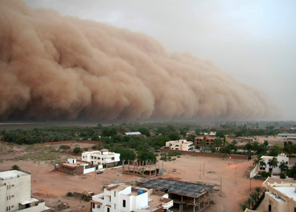
A haboob is an intense wind that causes a major dust storm on a weather front. This usually occurs in dry areas, such as a desert. The wall of dust can be several kilometres high and up to 100 kilometres wide, travelling up to 62 mph. Haboobs typically occur without warning.
Andriy Solovyov // Shutterstock
Heat burst
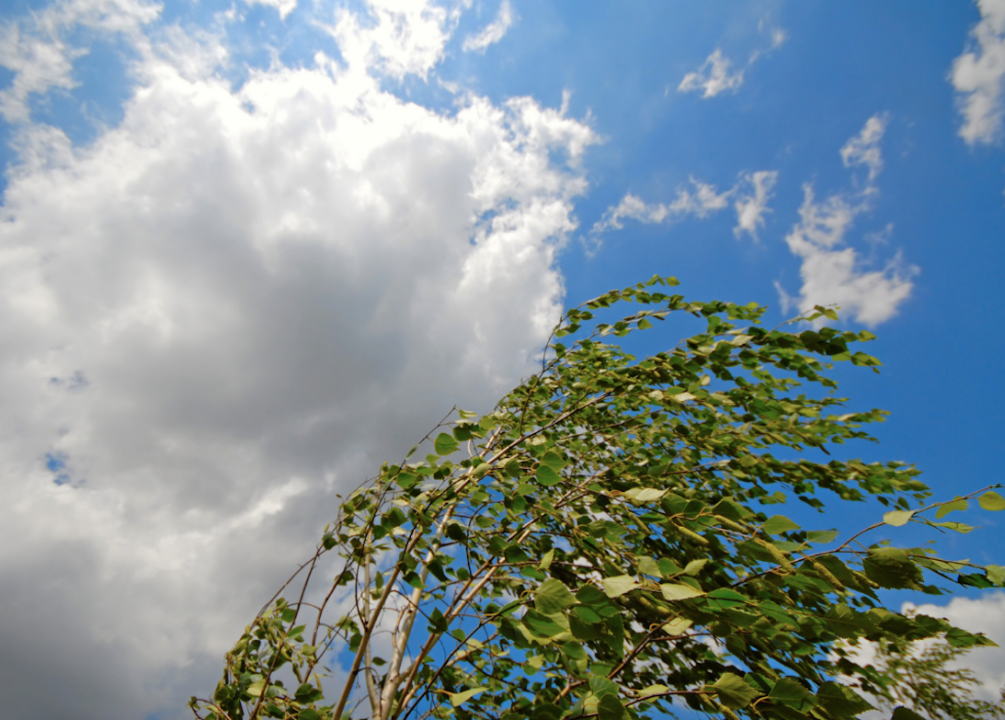
Heat bursts are one of the weather phenomena not fully understood. It is a gust of wind accompanied by a sudden increase in temperature and drop in moisture. It is thought that heat bursts are created when rain is evaporated by a current of cold air high in the atmosphere. The now dehydrated wind current drops to the ground, due to it being denser than the surrounding air—heating up as it descends. A heat burst could reach temperatures of 188 degrees Fahrenheit in extreme cases.
Canva
Ice storm
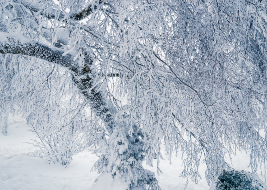
An ice storm is a winter storm that features freezing rain. In the Northern United States, it is more common to have an ice storm than a blizzard. Ice storms are not typically considered violent. However, the ice buildup can cause severe damage, including downed power lines and hazardous driving conditions.
Drew Angerer // Getty Images
Microburst
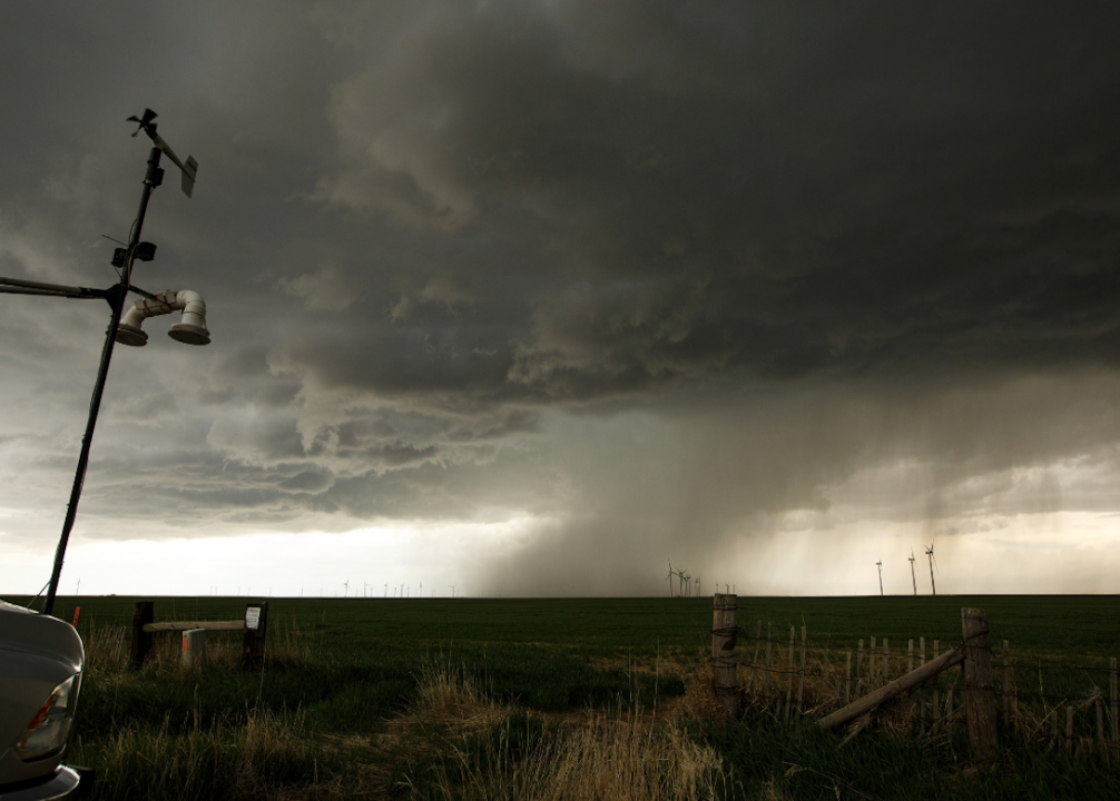
Microbursts are severe downdrafts, typically caused by a thunderstorm.
This sudden high-volume column of downward-blowing rain can be dangerous to aircrafts and has caused several aviation accidents.
Microbursts can be wind only or can be accompanied by significant rain. A microburst can last seconds to minutes and can be intense enough to uproot mature trees.
Matias Recart // Getty Images
Mudflow
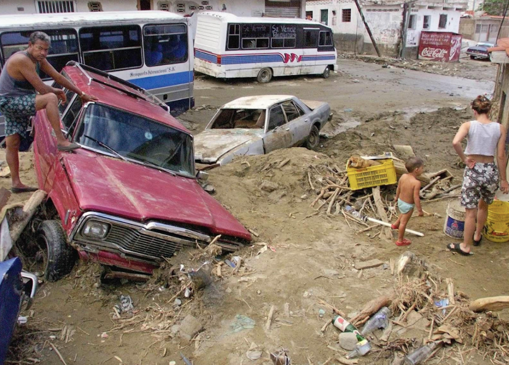
Mudflows or mudslides are the liquefaction of a landmass, due to high levels of groundwater, heavy precipitation, or erosion.
This can take different forms, depending on the composition of the ground soil and the amount of water absorbed in the mudflow. Mudflows can be minor in scale or major, such as the 1999 Vargas, Venezuela, Mudflow, which damaged about 37 miles of the Venezuelan coastline and killed between 10,000 and 30,000 people.
NASA // Flickr
Polar vortex
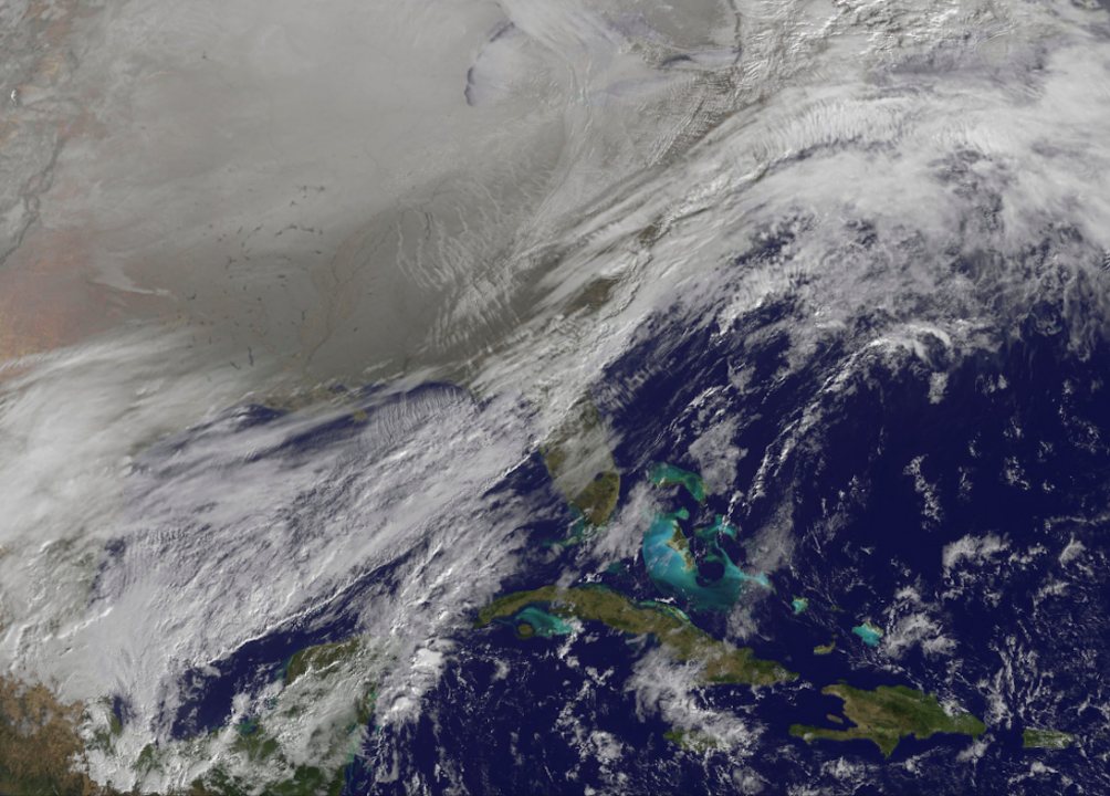
A polar vortex is a permanent feature of the atmosphere.
They are low-pressure areas in the upper atmosphere, centred at approximately 60 degrees latitude at both the North and South Poles.
From year to year, the vertices strengthen and weaken, with a weakened vertex splintering into two or more smaller vertices. These vertices will move toward the equator, carrying cold Arctic air with them. These "mini-vertices" may cause major drops in atmospheric temperature, causing storms and significant snowfall.
Christopher Furlong // Getty Images
Rain of animals
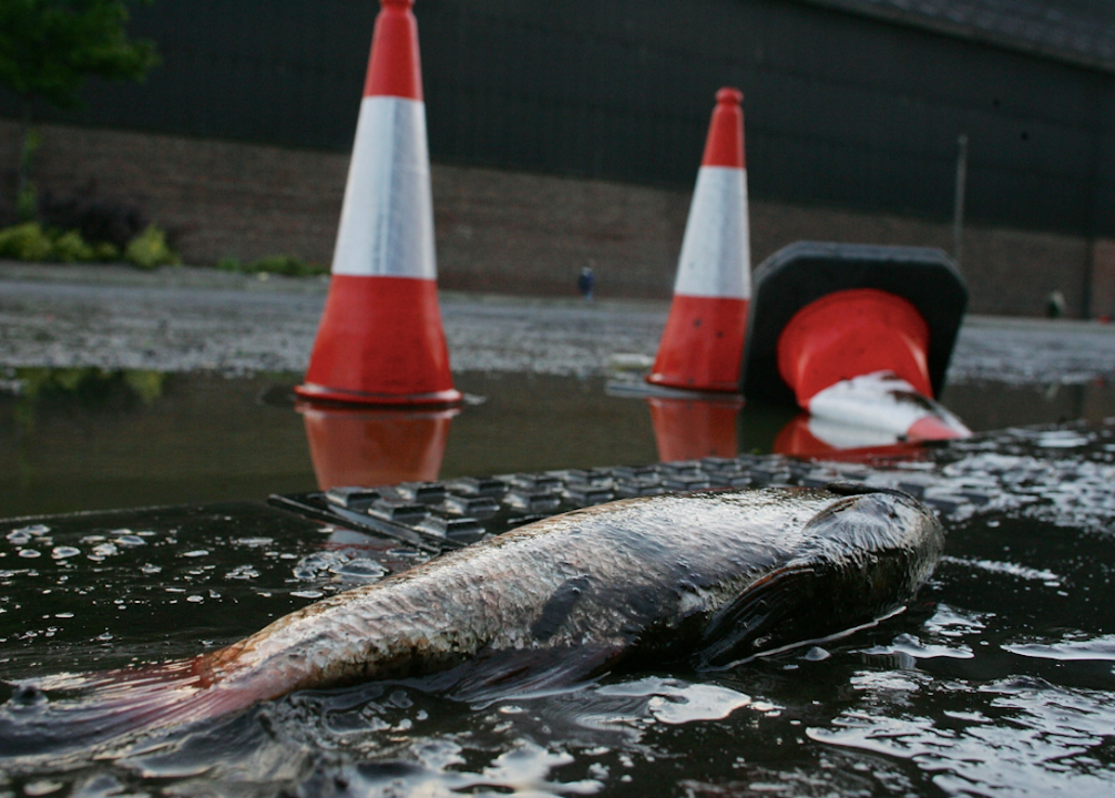
Rain of animals is a rare phenomenon where non-flying animals are swept up and dropped from the sky. These include stories of frogs falling from the sky and reports of storms of fish. It is believed that these incidents were caused by a violent wind that swept up the animals and carried them for a distance.
Albert Russ // Shutterstock
Sneaker wave
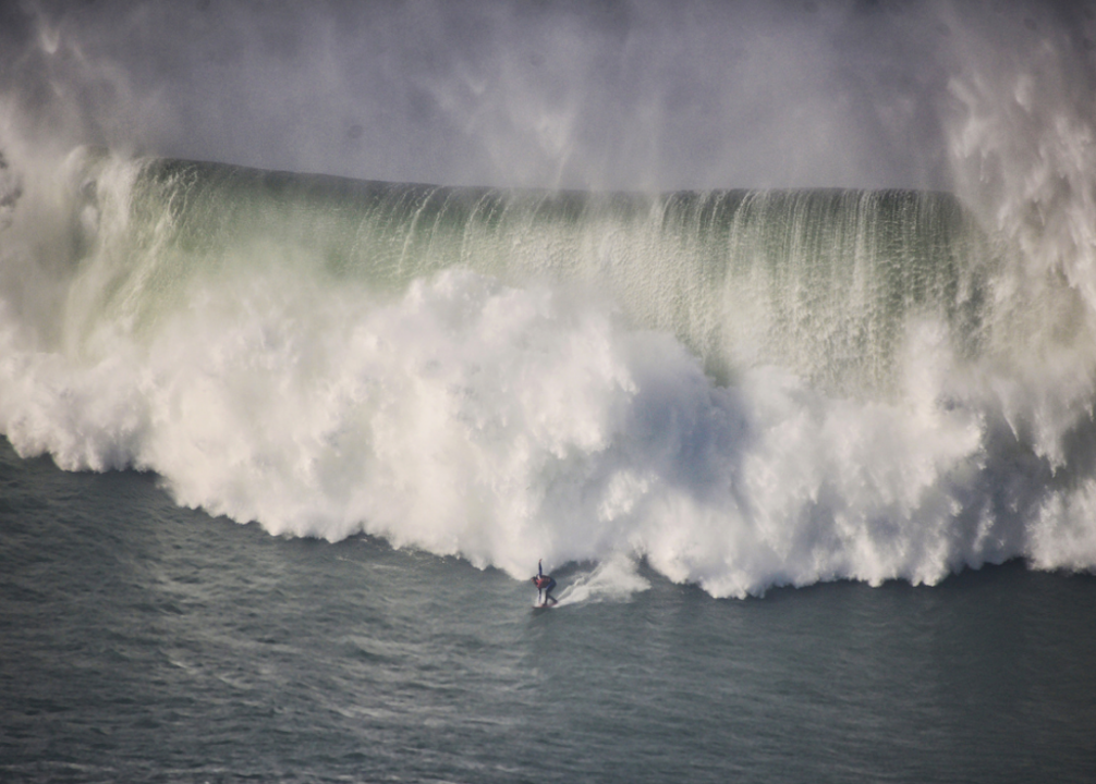
A sneaker wave is an unproportionately large wave that suddenly appears during a wave sequence.
These waves can be dangerous to swimmers and surfers due to them being unexpected.
Odd-sized waves have entered folklore, with some suggesting that sneaker waves appear in some certain order. Surfers typically search out these waves, calling them "the big one."
Lee Prince // Shutterstock
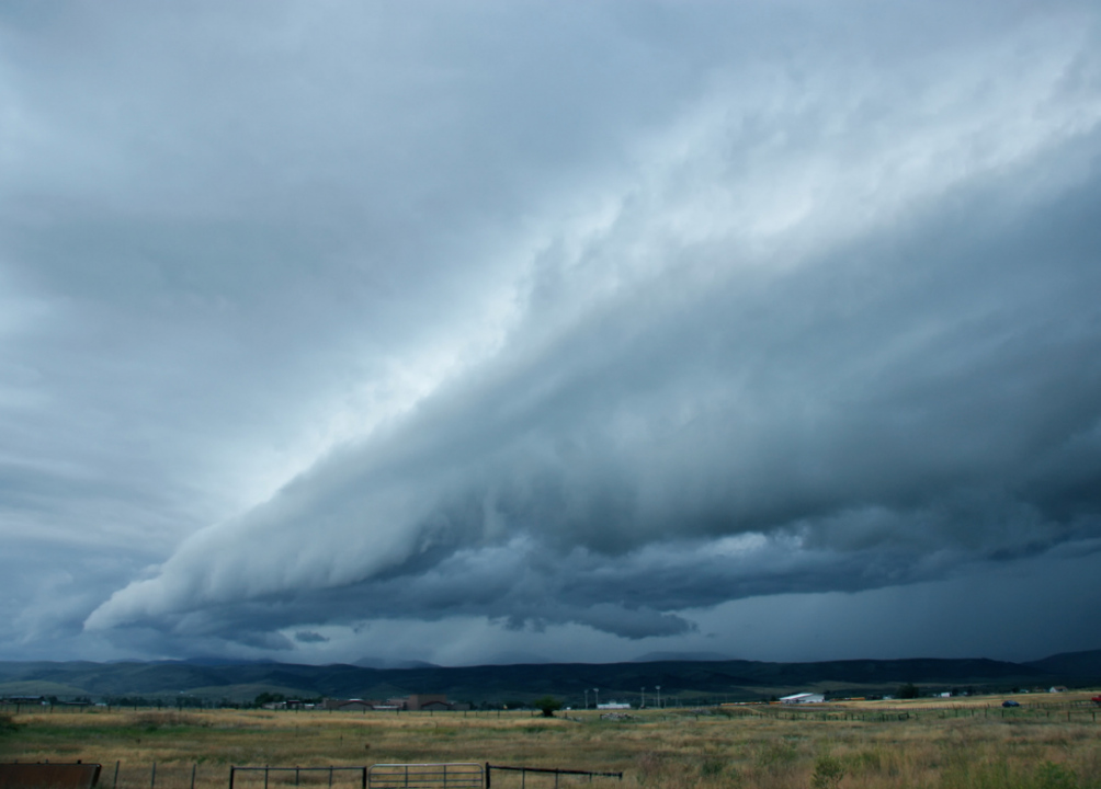
Squall line
A quasi-linear convective system or squall line is the line of storms preceding a cold front.
This line can bring heavy rainfall, tornadoes, strong winds, and waterspouts. Squall lines can cause other weather phenomena, such as haboobs and heat bursts.
Greg L.een // Wikimedia Commons
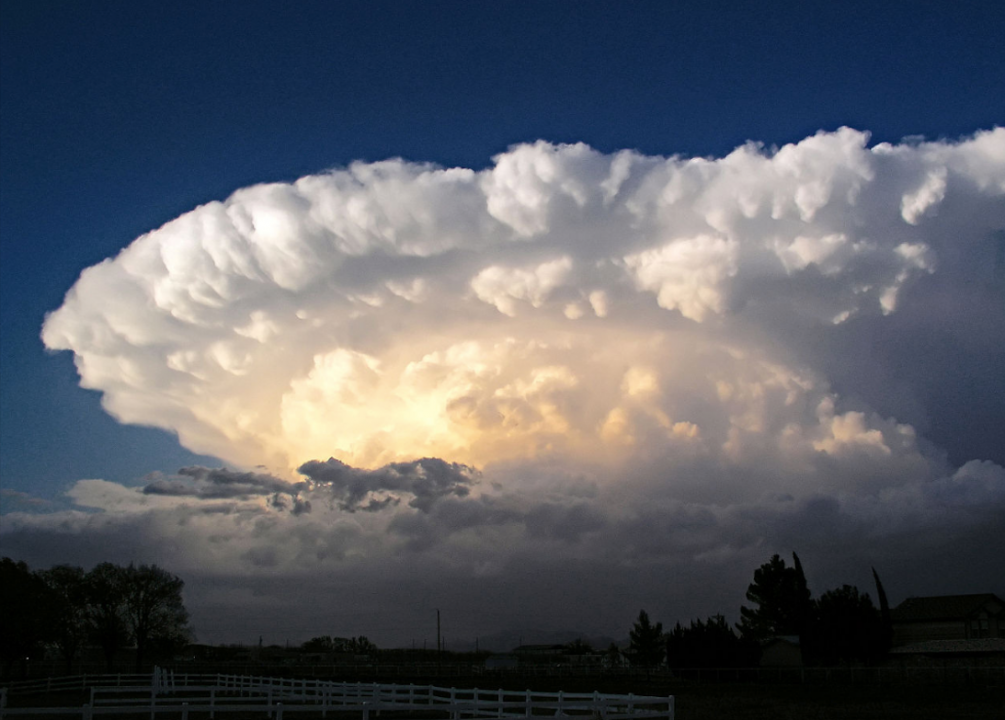
Supercell
A supercell or rotating thunderstorm is a thunderstorm in a persistent swirling updraft.
These violent storms tend to last between two and four hours and can exist separate from other storms. Common in the Great Plains of the United States, these storms can be distinguished by their large, swirling cloud clusters.
Supercells may precipitate rain or hail, with the concentration of precipitation varying from storm to storm. Supercell precipitation can range from a heavy rain to dangerous property-damaging downpours. Supercells can also produce tornadoes under the right conditions.
dfaulder // Wikimedia Commons
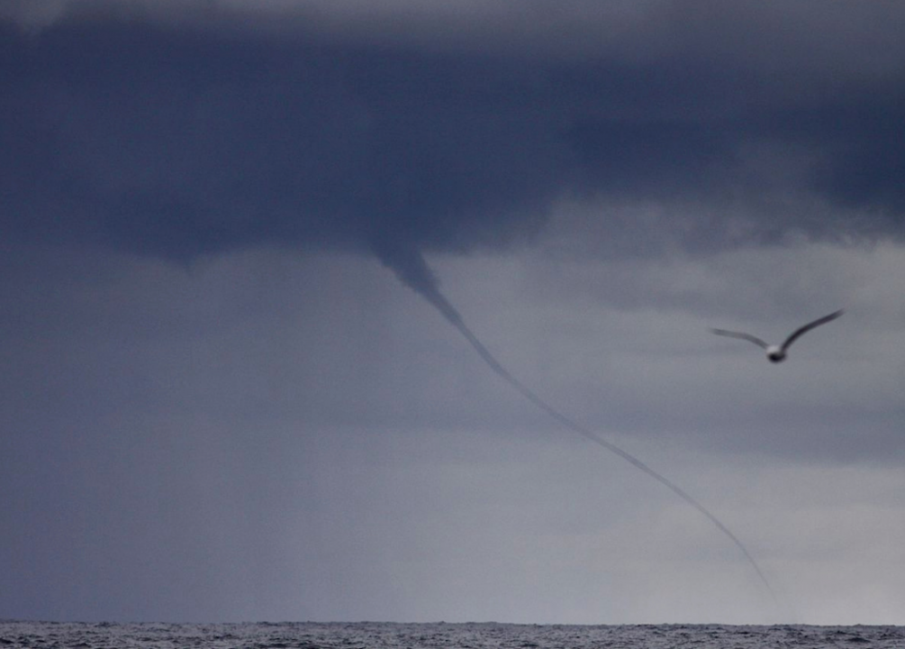
Waterspout
A waterspout is a non-supercell spiral of wind over water.
They may or may not suck up water and are typically the weak conflation of competing wind currents over the surface of a body of water.
Most waterspouts do not involve a supercell or a tornado and are short-lived storms with wind speeds of less than 67 mph. These typically appear in warm water areas, such as the tropics.
Paula Bronstein // Getty Images
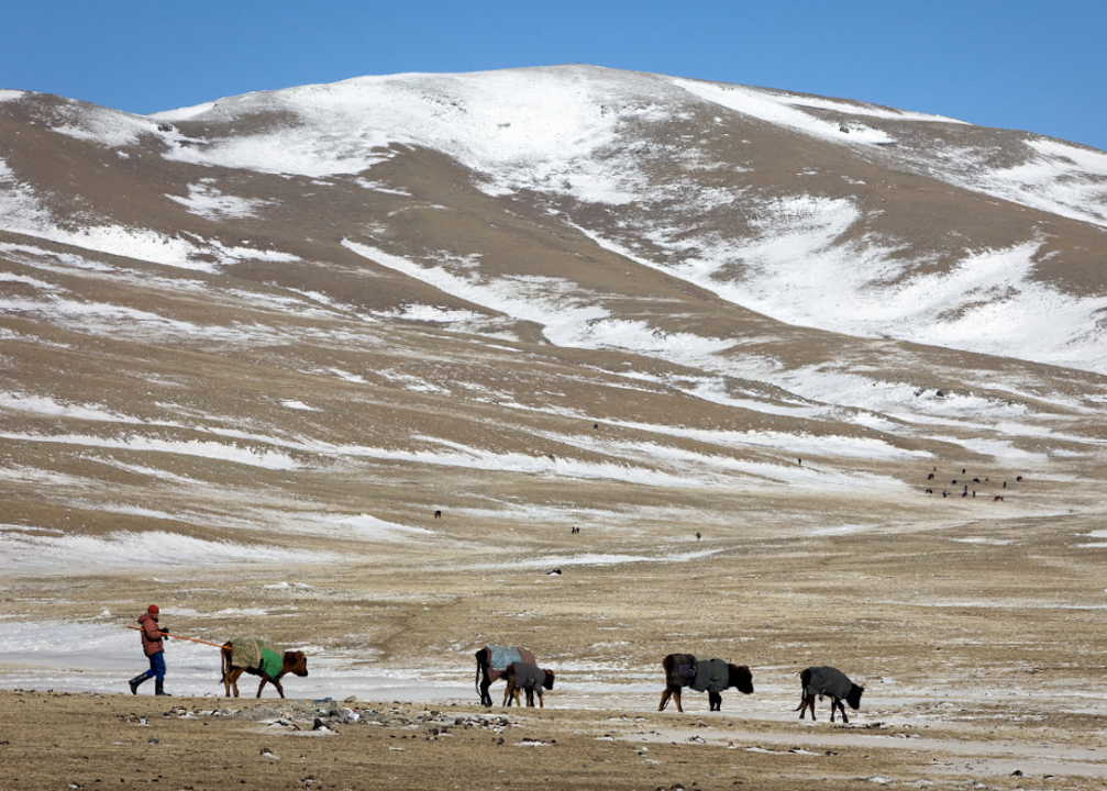
Zud
Zud is the Mongolian term for a severe winter.
Typically, a winter is referred to as a zud when it is too cold for livestock to graze, leading to a massive kill-off. Zuds are unique to Mongolia and can bring with them food insecurity, as a third of Mongolia's citizens rely on pastoral farming to survive.
Zuds can take several forms, such as a Tsagaan zud, which is heavy snowfall, over a Tumer zud, which is a short period of warming followed by a return to freezing temperatures. This leads to ice cover, preventing grazing.
