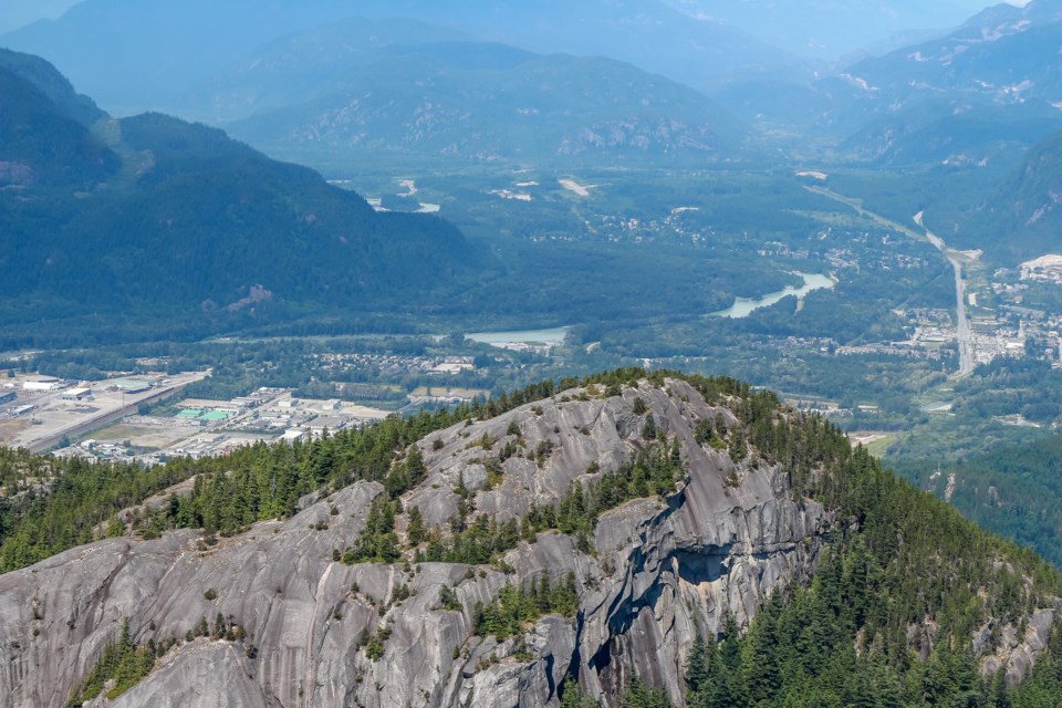
For those wondering about the low-flying helicopter over Squamish and Area D that started this month, here's an answer for you.
The Squamish-Lillooet Regional District issued a notice on May 7 that Talon Helicopters will be performing light detection and ranging, or LiDAR mapping in the area until June 30.The project is being done for BC Hydro.
During this time, there will be approximately four days of work, with flights estimated to be about four hours per day. There will be no activity on the ground related to this flight.BC Hydro spokesperson Susie Rieder told The Chief the mapping is to support the organization's transmission and vegetation maintenance programs.
This work isn't related to new infrastructure."This technology captures tower, conductor, and ground information that helps BC Hydro monitor our rights-of-way, including how vegetation is growing near our infrastructure," she wrote in an email.
"This LiDAR data will be used to help us fine-tune our work plans for the safe and reliable operation of our system."


